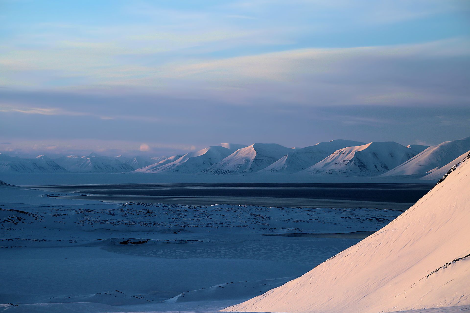
78° N – Infinite  Shades of White

Exploring the frozen paradise

a ski & snowboard expedition high up North on the Svalbard Archipelago

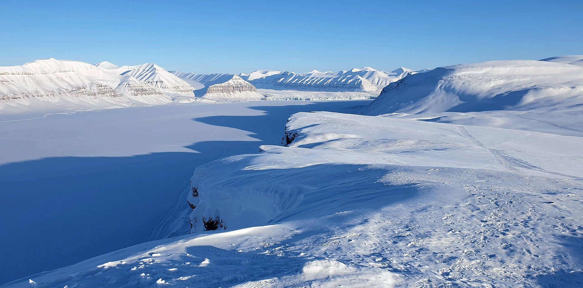
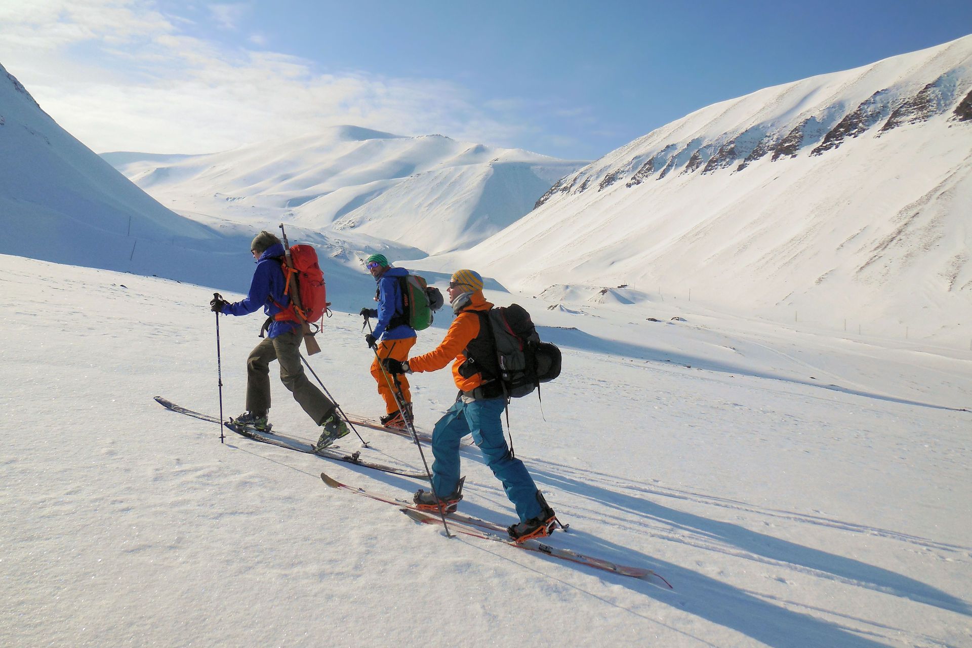
Mid-April three members of the freshies.ch Crew – i.e. René, Salomon and Stefan – went on a ski- and snowboard expedition high up north on the archipelago of Svalbard (Spitzbergen). Svalbard is a Norwegian archipelago in the Arctic Ocean. The islands of the group range from 74° to 81° north latitude, and from 10° to 35° east longitude.

For two weeks, we undertook various tours in the icy noman’s land and pitched our tents on the Sagabreen, an anabranch of the Fridtjovbreen, the largest glacier in the central Nordenskiöld Lands. We’ve created this website to share our adventures and memories with our families, friends and all of you who are interested in them. And of course, also as sweet memories for us.

Intro

The hands on our watches were already moving towards 12 a.m. when we crawled out of our tents.

Once again our eyes got caught by the mountain south of our basecamp. Its untouched north face glew in the violet-blueish light of the midnight sun, and we were fully captivated by this scenery. And at that very moment we all agreed:

“Now is the time – tonight we’re going to tackle this north face!”

We woke up our leadguide Greg Johnson from his deep sleep and patiently waited for his “Ok let’s go for it boys – now!” The adrenaline was pumping through our bodies and even the rattling temperatures of almost -30° C couldn’t stop us now.

But wait – let’s go back to the very beginning of our adventure in the freezing temperatures of Svalbard. It all started at a place that couldn’t have been more different than this place here.

During a surf trip in Portugal last summer we discussed our plans for the winter time and what tours and adventures we wanted to undertake. We all have traveled to many different places and were fortunate enough to ride first lines in many places. So this time our big winter adventure should take us to a remote place far from civilization. Somewhere unknown – at least to us. And when Stefan all of sudden came across some incredibly beautiful pictures of Spitzbergen while surfing on the internet, we were immediately fascinated by the untouched nature.

Is it possible to go freeriding there? How can you get there? What is the best time to go so far north? All these unanswered questions piqued our curiosity and had to be further investigated.

Soon we found out that there is a logistics base operator on Svalbard called “The Empire“, which offers expeditions to the noman’s land on Svalbard. And by coincidence “The Empire” planned its first freeride expedition in an area where, as far as the local people were aware, nobody had ever gone with skis or snowboards. Wow – we were just overwhelmed by this idea and immediately decided to make this trip happen.

Back in Switzerland we got into the detailed planning. Our mail servers ran hot, our checklists got longer and longer; and our patience thinner and thinner towards spring. And finally, on a wonderful spring day in mid-April we stood in front of the check-in desks at the Zurich airport and were ready to get all our equipment on board. While some people (in particular the lady at the check-in desk) were slightly surprised, we thought nine bags with a total of 200 kilograms of equipment for two weeks of adventure were rather reasonable.

How it all started
  • Svalbard

    Info

    For more info about Svalbard watch the video or click on the individual tabs.

  • map of Svalbard

    Svalbard

    Svalbard (which means ‘cold coasts’ in Norwegian) is a Norwegian archipelago in the Arctic Ocean. There are more than 400 islands which are situated north of the Polar Circle ranging from 74° to 81 north latitude, and from 10° to 35° east longitude. The largest island is Spitsbergen, followed by Nordaustlandet and Edgeøya.

    The land area of the islands is about ​​62’050 km². The largest islands are Spitsbergen, Nordaustlandet, Barentsøya, Edgeøya and Prins Karls Forland. More than 60% of the land area is covered by glaciers.The Austfonna glacier is not only the largest glacier on Svalbard, but in whole Europe. The highest mountain is the Newtopoppen with a height of 1’713 meters, followed by the Perriertoppen with 1’712 meters and the Ceresfjellet with 1’675 meters. The coasts of the islands are heavily riddled with fjords.

    More information about Svalbard on > Wikipedia.

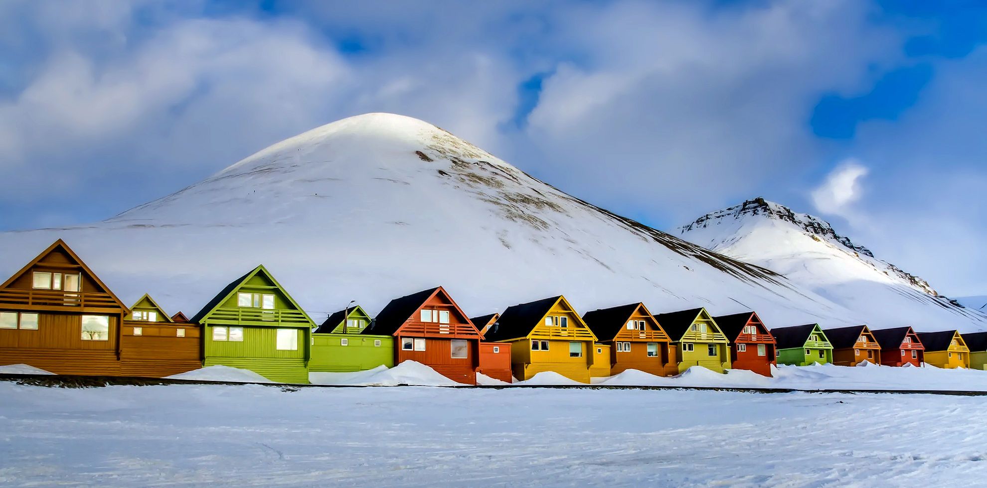
  • colorful houses in Longyearbyen

    Longyearbyen

    Longyearbyen is the largest settlement and the administrative centre of Svalbard. The town has a population of approxiamteyl 2,000. It is the world’s northernmost permanent settlement of any kind. It was founded in 1906 by the US enterpreneur John Munro Longyear.

    Longyearbyen is the largest settlement and the administrative center of Svalbard with about 2’000 inhabitants. The place is considered to be the northernmost permanently inhabited settlement. The city was founded in 1906 by US entrepreneur John Munroe Longyear as a mining place. Nowadays, mining only takes place at Mine 7 and the the city now mainly lives on tourism and research. Longyearbyen has a modern infrastructure with various shops, restaurants, schools and kindergardens, swimming pool, cinema, gas station, port and airport. The road network is only about 40 kilometers long and does not connect to any of the other places on Svalbard. Snowmobile (in winter) and boats are therefore the main means of travel.

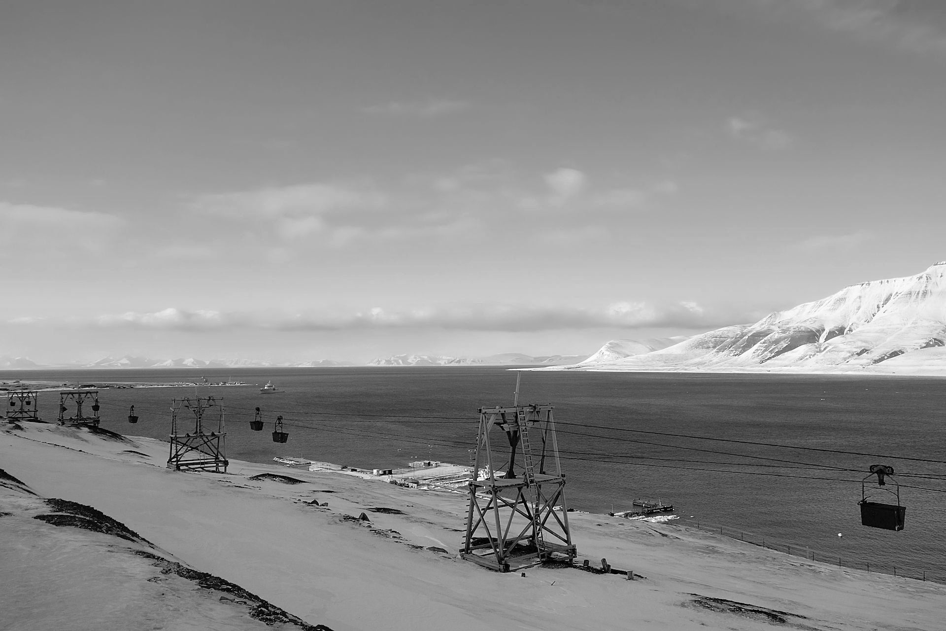
    As Mine 7 is located a few miles outside of the city you don’t see that much of the mining activities in or around Longyearbyen except the remains of the old mines and cableways. Still, half of the inhabitants live directly or indirectly from mining. What remains from the old mining period is the fact that in many places visitors are expected to take of their shoes when entering. Since the mine workers often became very dusty and dirty, they pulled out their shoes at the entrance to the houses.  This also applies to museums, hotels and school houses (excluding shopping centers).

    More about Longyearbyen on Wikipedia.

  • polar bear warning in Longyearyen

    Polar Bears

    There are more polar bears than humans on Svalbard.

    The islands are home for approximately 3,500 polar bears. Polar bears (latin: ursus maritimus) are the largest species of bear in the world. Males weigh between 300-700 kg while females weigh 150-350 kg. The length of adult polar bears varies from 180–260 cm. Weight varies dramatically seasonally, especially among females that can more than double their body weight from the spring to the late summer. Polar bears are typically off-white in colour, but vary from grey, through shades of white to yellow. Adult males can be distinguished from females on the basis of their larger size, but more reliably on their more powerful necks that looks wider than their heads. Compared to other bears polar bears have: a long narrow head; a head that is relatively small compared to the body; small, heavily furred ears; claws that are short and strong; canine teeth that are long; and cheek teeth that are sharper. These features have been selected for in polar bears as a consequence of their almost purely carnivorous way of life.

    You have to expect polar bears anywhere and at any time in Svalbard outside the permanently inhabited settlements. The probability of meeting a bear increases towards the north and east. But polar bears have even been seen inside the settlements, especially in times of darkness. The highest risk to meet a polar bear on the road will be in the early morning, after hours with little traffic. Because of the polar bear danger it is necessary to carry weapons outside of built-up town area. But – as in Svalbard polar bears are strictly protected by the law – one may shot only in case of direct danger to human life or health.

    For more information check the article “Polar bear (ursus maritimus)” on the Spitsbergen-Svalbard website.

  • Video

    Video by Veritasium

More about Svalbard

Floating ice sheets in the Polar Sea made it clear – we arrived in the freezing Arctic

It felt somewhat surreal seeing all the floating ice sheets covering the Polar Sea when approaching Svalbard on our flight. An unmistakable sign that we arrived in the far north. Just a short time later we were standing with a somewhat queasy feeling next to a big polar bear – fortunately only a stuffed one in the arriving hall of the Svalbard airport – and in the middle of our dufflebags. “You must be the guys from Switzeland!”, a bearded man with a thick fur coat and a broad grin – our guide Steve Lewis – greeted us and took us outside. An icy wind hit us into our faces and we quickly loaded our bags into the bus and drove off.

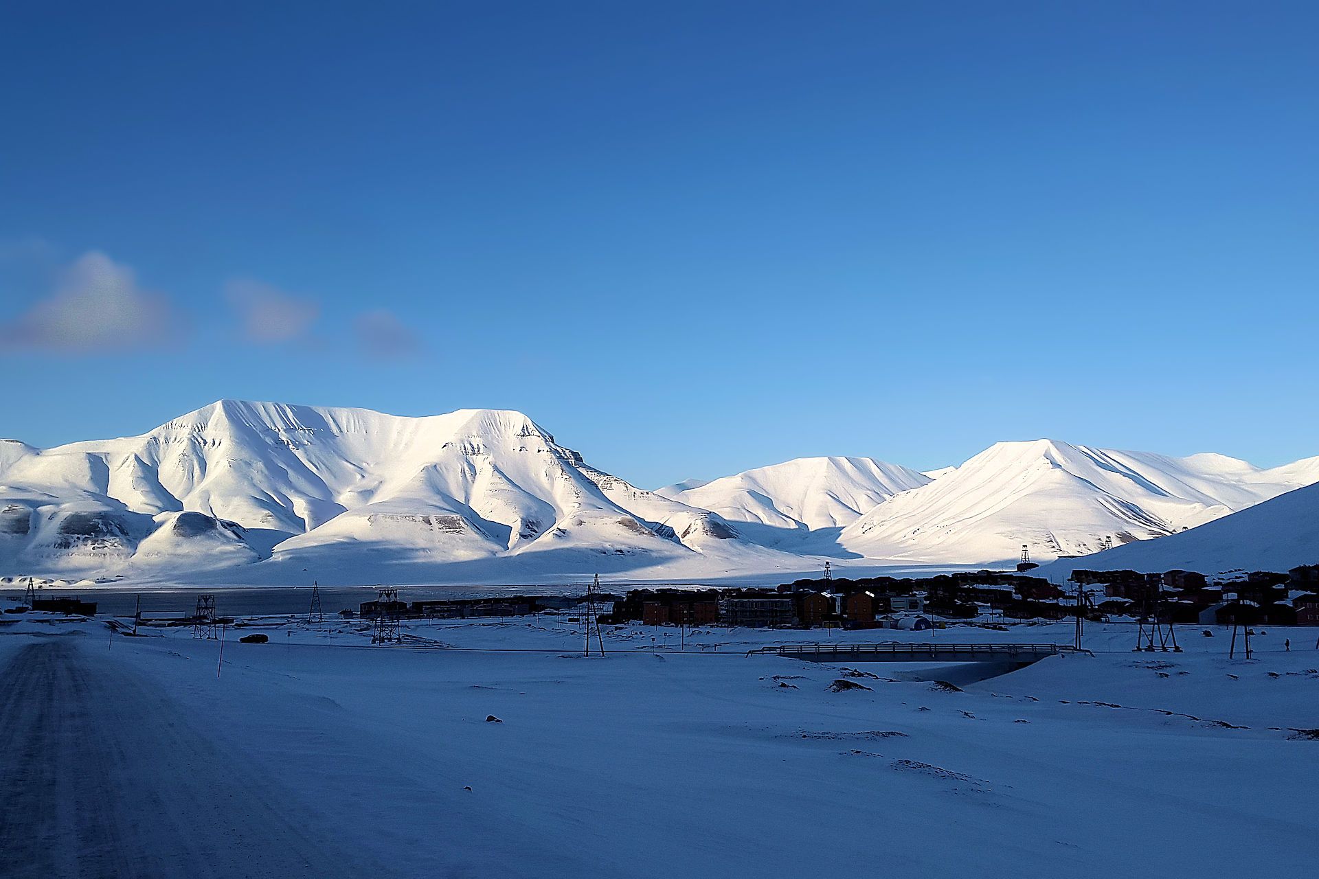
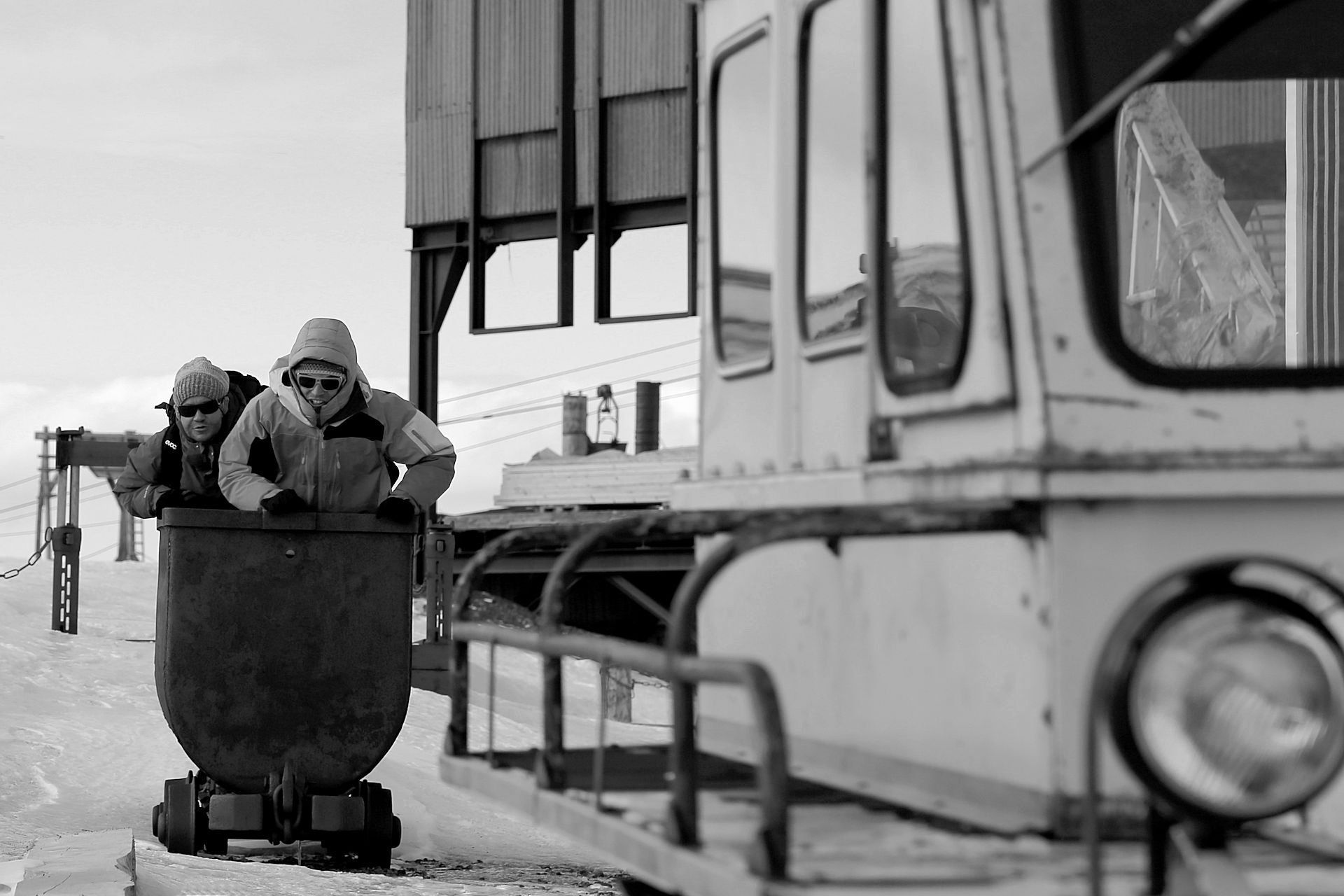
The closer we got to the village on the coast of the Advent fjord, the more Longyearbyen reminded us of a mixture of a Russian polar research station, a coalmine town from the past, and modern terraced houses taken from a fairy tale book. Abandonded, wooden aerial tramways previously used for transporting coal run from various snow-covered mountains. Even though the cableways have long since stood still, the coal mines operated by Russian miners nowadays still leave their dark tracks in the eternal ice. And in sharp contrast to this scenerey one could see the white mountains, rising steeply from the Polar Sea, glowing in the light of the midnight sun.

So this was it. Here we were. On the legendary, longed-for archipelago of Svalbard at 78 degrees north. Somewhere between the North Cape and the North Pole. Cold and barren. Inhospitable at first sight. And yet of intoxicating beauty.

Suddenly, the midnight sun casted the entire landscape in a magical violet light.

Armed with our cameras we ran out into the rattling cold to capture this unique scenery. Three hours later we finally realized that the sun was actualy not going down but was at the same time rising and that this natural phenomenon will repeat itself for the coming two weeks. Obviously you just need some time to really understand this. And so we finally went to bed at three o’clock in the morning despite a glaring sun.

For the first few days we stayed at the Russkiy Dom, a Russian hostel run by Fyodor Gilbo and just recently built. The hostel will serve as a starting point and training base for future expeditions to the North Pole. Just the right place for us to get prepared for the upcoming freeride expedition with the local logistics partner and Arctic Guide Steve Lewis of The Empire and the two guides Greg Johnson and Ryan Koupal from 40 Tribes Backcountry. Despite our preparation back home there was still a lot to do before we could get into the untouched wilderness around the Sagabreen and the Hanekammen mountains.

We took advantage of our time in Longyearbyen and went on some short trips in the surrounding area of Longyearbyean just to get used to the arctic cold of -30- Celsius, the local snow conditions and the somewhat unfamiliar mountains.

And of course we checked our equipment for the last time before heading into the wilderness. After all none of us felt like camping on a windy glacier without the proper down gloves.

Steve also instructed us on the specific safety measures out there. Since there are more polar bears than people on Svalbard, someone with a loaded hunting rifle had to be ready at all times during the expedition to protect os from the Arctic’s largest hunter. And obviously there was no other weapon better suited for this than a full-mechanic storm gunshot of the British Army from the Second World War. “Everything else would not work in the icy cold of the Arctic, anyway,” Steve mentioned during the safety instructions where we also learned to use the flare guns for deterrence and signaling an emergency as well as how to operate the satellite phone, our only means of communication during the time in the wilderness.

Arriving
old cold mining aerial tramway
view over Longyearbyen
exploring the hood in Longyearbyen

Gruvefjellet & Helvetiafjellet – the first tours in the Arctic snow

After all the preparations, we were finally ready. Together with our Icelandic guide and Snus ambassador Porlakur Laki Jon Ingolfsson (also called “Laki” what is way easier to remember) we went for a first hike ‘n’ ride on the Larsbreen and up to the Gruvefjellet. Riding the first lines in the Arctic snow just felt great. And we liked the couloirs down from the Gruvefjellet so much that we went for a second run despite the ‘dust on crust’ snow. Guess our first backcountry experience in the Arctic couldn’t have been any better.

The reindeer burgers with a local pale ale at the Coal Minors’ Bar & Grill were a welcome add-on and made us look forward even more to the coming days.

We just had one day left and decided to go for a snowmobile tour to the Helvetiafjellet – just the right peak for us Swiss people. Unfortunately, the weather was very unpredictable that day and when the fog and snow got to intense we decided to turn around before we had reached the summit. After all safety first is always key!

All the more fun we had with our snowmobiles on our way back to the Russkiy Dom . And the ‘trip’ was still instructive and helpful as we now knew how to protect our knees from the cold while sitting on the snowmobiles. We just cut some isolating mats into pieces and used them as protectors in our pants. An ‘invention’ we were more than happy to have on our forthcoming journey from Longyearbyen to the Hanekammen mountains.

Gruvefjellet & Helvetiafjellet
first tour in the Arctic snow on Gruvefjellet
Rene hiking up Helvetiafjellet
heading back home to Longyearbyen

Before we could head out to our basecamp we had to pack all our stuff. The equipment of the entire expedition crew had to be loaded onto our transport sleds – duffle bags, board bags, expedition tents, two yurts, food supplies, an oven, kerosene supplies, a mobile kitchen, film and photo material equipment. Once again we stood in front of a mountain of equipment. Don’t know how exactly but we did manage to load everything on our sleds and snowmobiles. Anxious of the days to come we just waited for Steve’s starting signal. “We’re ready boys! Let’s go!”

Following Steve’s snowmobile, our caravan of sledges finally headed out of Longyearbyen to the southwest. Ahead of us a one-day trip through glacier valleys, past the Russian coal mining village of Barentsburg at the Grønfjord and on to Christophersenfjellet.

We were completely overwhelmed by the beautiful Arctic backcountry.

But Steve kept telling us to stay calm as the best was still to come.

And as if he had already guessed it, our euphoria was just too big and distracting and all of a sudden the first rollover with a snowmobile was a fact. Fortunately no one got injured and – with remote help via our satellite phone – we were abel to fix the broken snowmobile and got it back running. Luck seemed to be on our side and we kept our fingers crossed it would stay with us for the rest of the trip.

Steve hadn’t promised too much. The first glimpse of the Fridtjovbreen, the largest glacier in the north of Nordensköld, paid off for all the ordeal to get there. All the untouched, snow-covered mountains were simply breathtaking. Incredible couloirs in all directions, difficult to say which ones to ride first.

We drove further down ot the Van Mijenfjorden, just a short distance away from the location of our basecamp. From here we just had to turn right right into a mountain bowl and headed up to the top of the Sagabreen.

And here we were – at the final destination of our dreams, surrounded by the Hanekammen mountains. Unreal. In the middle of the place we have only known from a picture seen on the internet a few months ago. An image that Ryan made during a boat trip through the fjords of Svalbard two years ago.

Heading out
everything must fit on our snowmobiles
fixing the broken snowmobile
en route to our basecamp on the Sagabreen

Sagabreen Basecamp

But as it is, when dreams come true. At some point, reality catches up with you again. “C’mon guys, let’s build up our camp! It’s gonna get cold”, Steve brought us back down to earth and into the arctic cold. For indeed, there was still nothing to be seen of our basecamp. We had to shovel flat areas and windbreak walls for our expedition tents, because – as we all know – it is better to sleep protected from the icy winds and more or less horizontal. In addition, the kitchen tent and the “lodge” yurt had to be set up so that we could cook and eat properly.

We also had to build some other facilities protected from the wind, as no one could yet imagine how to spend some very personal time in -30 degrees Celsius. So we paid due attention to the construction of a wind-sheltered Klohaus. And as it should turn out later, our open-air Klohouse would also served as a perfect obstacle during our upcoing Shithouse-Jam session.

All the tents had to be arranged in a precisely defined order. The Klohouse and pee-tree as well as the kerosene depot were located well outside the main camp. Our food supplies were to be buried some some distance away from the camp as the they would be the first place a hungry polar bear would look for something to eat. Our expedition tents, kitchen tent and yurt were set-up in a row so taht everyone had a good view of the camp and the surrounding area. An important aspect considering that we had to protect ourselves and maintain a polar bear watch around the clock. Thanks to the experience of Steve and the hard work of the whole crew our basecamp was all set-up and everything was in its place later in the evening.


If it wasn’t for the violet-orange light of the midnight sun, we all would have crawled into our thick down sleeping bags tired after all the work. But the everlasting sunlight just wouldn’t let our minds settle down and we kept talking about all the first lines still to ride in the coming days.

After just a few hours of sleep we woke up again in our tents and had to get out of our sleeping bags into the Arctic cold. Not a pleasant experience as the temperatures in our tents had dropped below the freezing point during the night and everything was frozen. So another lesson learned: not just the jelly bottle, but all other vital items for the coming day had to go into the sleeping bag. But at least our clothes (already kept in the sleeping bag during the night) were (almost) dry.

Sagabreen Basecamp
our basecamp on the Sagabreen with the Hanekammen in the background
it's freeziing cold
Salomon in da house - shithouse jam session

Snow covered mountain flanks right down to the Arctic Sea – we had arrived at the destination of our dreams.

In full anticipation of our first tour in the backyard of our basecamp we didn’t think any longer about all the ordeals of camping on a glacier in the Arctic. After a short breakfast – homemade soulfood by our chief Erla Johansdottir – we hiked from the camp to the top of the Kleivdalsnuten. A small peak of 606 meters of altitude but with a great view to the Kleivdalsbekken and the Varsolbucht towards the west.When we were on the summit and saw the sea of ice a the foot of the mountain flanks we realized once again that we had arrived at the destination of our dreams.

Riding down to the lowlands of Kleivdalen we noted that this side of the mountain facing the Arctic Sea had been much more exposed to the winds and the snow was rather crusty. However, there was still some fresh powder left in the small couloirs.

And so our dreams of riding powder lines down to the Artic Sea finally became true. Hell yeah!

Kleivdalsnuten
view from Kleivdalsnuten

Hanekammen – the place of our longing

After two more days and several tours in the neighborhood of our basecamp on the Sagabreen, we were ready to tackle the mystic Hanekammen couloirs. The anticipation of these magical, steep and gorgeous couloirs had been huge for days. After all, it was exactly because of them that we had actually come here. In fact, we owed thsi trip to a single photo of these couloirs that Ryan Koupal took on his boat trip two years ago and which Stefan had found on the internet during our surf trip to Portugal last summer.

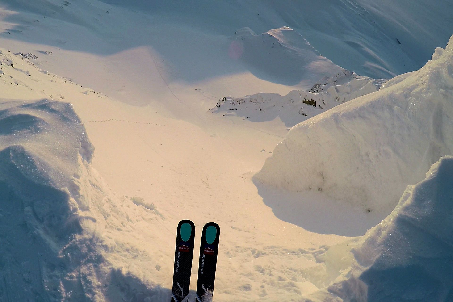
“What madnessè” we thought to ourselves when we were finally there – at the foot of the Y-shaped, 45 degrees steep couloir. So once again we put on our crampons and took out our ice axes and climbed up to the top.

During the ascent we found – somewhat to our great surprise – powder snow in the wind-protected places inbetween the rocks. Afer a while everyone was on the top, with a big grin on our faces. Looking down to our basecamp made it clear that this was one of the highest peaks around the Sagabreen. More than 500 meters down to the glacier surface with a view of the Fridtjovhamna Bay and the opposite (still) Unknown Peak p. 620. We couldn’t ask for any better location for some freeride shots. After the riding and photo shooting we definitively deserved a few shots from the bottle with the good old Grappa inside. The ‘Swiss Army Knives’, as camp guide Stian Aadland used to call us in the meantime, didn’t get over it so quickly after such a day. “Highly amazing”, so to speak!

Hanekammen
Stefan riding one of the couloirs down Hanenammen
Rene on the top of Hanekammen
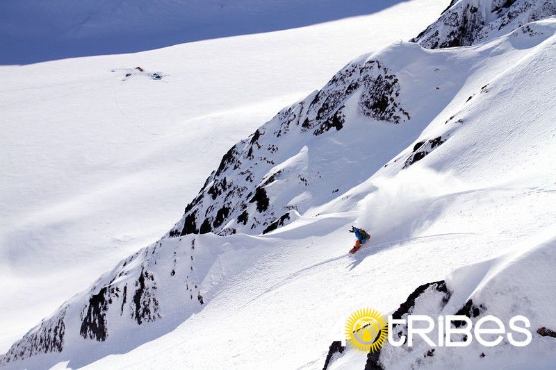
Salomon riding down Hanekammen
Hanekammen

As we strolled out of our yurt some time after midnight – well understood still stoked by the earlier rides down the Hanekammen – the mountains around us were glowing in the violet light of the midnight sun. Especially the Unknown Peak 620 south of our camp was shining in unrealistic hallucinogenic colors.

“Can you imagine to stay on the top right there at midnight – what a feeling!”

We were only too happy to imagine that – and so that was now the plan for tomorrow. To be ready for this summit, we took it a little bit easier the next morning. To climb to the top of this mountain we simply had to be fit – in the legs legs and in the head. No mistakes could be made when climbing and riding a 50 degrees steep couloir with various wind lips and massive rocky shoulders. So wejust took a short hike to the already familiar Kleivdalsnuten before taking a nap in the middle of the afternoon. Didn’t matter anyway with a 25 hour day of constant sunlight..

When we woke up later in the evening in our tents, we were already a bit nervours, becuase the possible lines on this monster face of the Unknown Peak 620 looked quite scary from down here. It was freezing cold that evening, even colder than the days before. With -30° C and a light wind it was so cold that after 10 seconds without gloves you could hardly press the shutter button on the camera. But this was not our, but Laki’s challenge who stayed in the camp for filming our rides and for the polar bear watch.

When our lead guide Greg Johnson finally said the magic words “Let’s go for it boys – now!” our tension decreased and there was nothing stopping us and we started hiking and climbing up the steep couloir on the right side of the mountain face for the next hour and a half.

freshies.ch Peak

If our adrenaline hadn’t already been pumping to the max, we probably wouldn’t have reached the peak in such a short time. But as it is, when you are about to fulfill the dream of a first ascent – the legs suddenly carry you as if by themselves. And even the pain from a broken toe got forgotten. Especially not with the view from this unnamed mountain peak. Without further ado, we redeemed the mountain from its nameless existence and renamed it “freshies Peak”.

After a short rock-paper-scissors, the usual procedure among us to figure out who gets the first line, Stefan had the great honor of the very first line on “our” own mountain on Svalbard.

What a feeling it is to ski down 50° steep spines in Arctic powder at 12 o’clock at night under a pink midnight sun can hardly be described. But a ‘subtle’ whoop surrounded by screeching seagulls and loudly roaring polar bears probably sums it up best.

ascent to the freshies.ch peak just before midnight
Stefan is ready for his midnight run
Rene hiking up to the top of the freshies.ch peak
view from just above the basecamp

The first descent on the freshies peak was hardly to top – at least not in the surrounding mountains of the Sagabreen. That’s why we decided to hike to the glacier in another side valley, i.e. to the Grånutbreen, another anabranch of the Fridtjovbreen. We were somewhat unlucky with our first mountain that day. The southeast face of the Granutane was just too icy and we decided to turn around before reaching the sumit. After crossing the glacier and walking to the other side of the valley we stood at the bottom of the backside of the Hanekammen mountains. There was still quite some fresh powder in this northwest face ready to be shredded by us. And just the right place for our celebration of Salomon’s birthday.

But before we could ride the fresh powder we first had to overcome some overhanging windlips on our way up. Stefan volunteered and used his poles as axes to cut a way through them. Once we made it across the windlips it was a rather easy walk along the ridge to the top of the (now re-named) Salomon Peak. To our big surprise there was no wind at the top and we spent some time celebrating with some tea and good music. And then it was Salomon’s turn to ride the first line back down to the Grånutbreen.

Impossible for all of us to think of any better birthday present than this line.

To get back to our basecamp we had to put on the skins on our boards and skis once again and headed back home. Quite weird when after a week in the Arctic wilderness you start to feel like you are coming home – home to a basecamp of yurts and expedition tents, surrounded by wind walls and incredibly beautiful mountain ranges. A home where we could have stayed for quite a while longer.

We just had fallen in love with this little side valley in the central Nordenskiöld Land, the midwest of Svalbard. A beautiful place despite (or maybe just because of) the harsh and cold weather. There would have been still innumerable possibilities to ride first lines – in the truest sense of the word – in the Arctic snow.

Grånutbreen
Rene - big smile
our small group hiking up on the Granutbreen
Stefan - and our basecamp on the Sagabreen in the background
ascent to the Granutane
Salomon - climbing up to the top of the Hanenkammen
Salomon and Ryan hiking on the Fritjovbreen

Back to Civilization

After so many incredible impressions, intense feelings and wild adventures, it still felt like an unreal dream even after a full week in the wilderness. We could hardly imagine ever leaving ‘our’ Sagabreen again. But even in the Arctic the expected end comes once. And so, after all those days in the cold, it was time for us to say goodbye to the Sagabreen and return to civilization.

But before we turned our backs on our basecamp, we had to clean-up the place . We were not to leave any traces – as if we had never been in this place. The wild animals should not be able to get used to human proximity in any way and the unique nature should not be polluted.

It felt like a movie as we again drove in a long caravan with our sleds up the Fridtjovbreen and on towards Longyearbyen. Countless images and memories ran through our minds on our way back. The steady hum of the snowmobiles in our ears, lulling our minds to sleep, had it not been for the ice headwind toring one out of a half-sleep. With some melancholy and the now definitely noticeable tiredness in the bones, we slowly approached civilization again.

Admittedly, the thought of a warm shower, a cold beer and a real, and above all warm bed, also had its appeal at that moment! And we certainly all stunk worse than the smelling walruses on the beach.

Arriving back at Fyodor’s Russkiy Dom in Longyearbyen after the long ride, we only really realized how being out in the wilderness can change you – even if it had only been for a week. All these people, the many houses, snowmobiles, cars, internet and slippers – we had to get used to all this again. Even the longest shower in living memory didn’t that. Nevertheless, the inconveniences of everyday life had caught up with us again far too quickly. And yet, our thoughts and a part of our soul were still out there on the Sagabreen.  At least one thing was certain:

There is something magic about Svalbard.

The place gave us the chance to experience an incredible adventure and gave us unforgettable meories. In return, it retained a large part of our soul.

So what else can we do but reutrn to Svalbard sometime in the future? See you again at 78° North!

Back to Civilization


A picture is worth a thousand words

We remember our adventure on Svalbard and look back on it with great pleasure. Part of the reason we created this website, but we hope you enjoy the video and pictures as well. And who knows, maybe they will inspire you to visit Svalbard yourself.

Special Thanks

We couldn’t have done it without you!

The Empire - Logo

The Empire

Our local logistic partner and arctic guide on Svalbard

40 Tribes - Logo

40 Tribes

Touring Guides – Ryan Koupal & Greg T. Johnson

Zen Snowbooards - Logo

Zen Snowboards

Splitboard equipment

Kästle - Logo

Kästle

Freeski equipment


Many thanks to the whole crew for an incredible adventure up north!

Guides & Locals:

Steve Lewis – The Empire / serious worker
Stian Aadland – Camp Guide / highly successful polar bear protection
Laki Ingolfsson – Camp Guide / kerosineer
Erla Johanndsdottir – Chef de Cuise / soul food
Ryan Koupal – 40 Tribes Backcountry founder / mr. coffee
Greg Johnson – 40 Tribes Backcountry lead guide / momjohn
Fyodor Gilbo – Russkiy Dom Longyearbyen

Fellow Riders:

Trond Hindenes – trondnet
Simen Opsal – mr. broken toe
Nick Welsh – chili nøtter